LAND SURVEYING
We provide a full range of Land Surveying services and our work regularly involves the following:
Flood Elevation Certificates
Final Maps
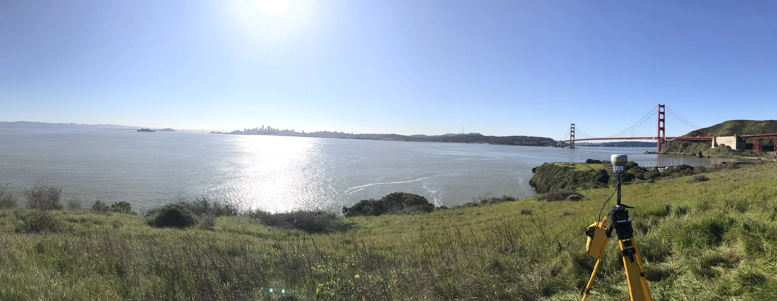
Geodetic Control and Consulting
Legal Descriptions
Lot Line Adjustments
Parcel Maps
Monitoring
Record of Survey Maps
Photogrammetry Services
Aerial Mapping
ALTA/ASCM Land Title Surveys
Boundary & Topographic Surveys
Boundary Encroachment Studies
Caltrans Right-of-Way Acquisition Mapping
Construction Services
Construction Staking
Corner Records
Elevation Certificates
Easement Document Preparation